The hike up to Hochobir (2139 m / 7017 ft) in Carinthia is considered one of the mountain hikes with the best view in southern Austria.
Hochobir is a large freestanding mountain at 2139 meters / 7017 ft above sea level. The mountain is separated from the nearby peaks by deep valleys and rises almost 1800 m / 5900 ft above the Drau Valley in southern Carinthia. The starting point for the hike, Eisenkappeler Hütte, is located on the hillside in a secluded valley, on the south side of the mountain. Hence, there is much less traffic on this mountain than on other nearby, that are more easily accessible. This is exactly what I was looking for.
Up through the forest
I started the 5.8-kilometer / 3 mi hike from Eisenkappeler Hütte (1555 m / 5100 ft asl). I followed a well-marked trail (route 608) and ascended through the forest. For the first 45 minutes, the narrow trail winds relatively steeply through the forest. The path is well-worn and occasionally lined by wooden railings to safely navigate through the dense forest on the south-facing hillside. Moreover, here and there you get a nice view of the mountain range in the south, on the border between Austria and Slovenia. There are a lot of loose rocks and roots on the trail, and it is important to be steady on your feet. From the mountain hut and up to the tree line it’s about 1 kilometre and 215 altitude meters (705 ft). Don’t worry! You will get awarded for the steep ascent on the first plateau.
< Click on the images to enlarge >
Magnificent view
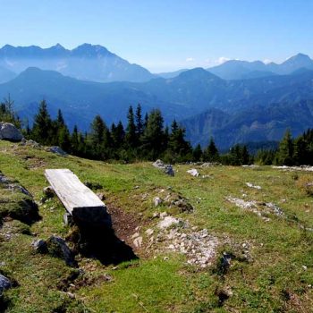
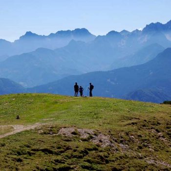
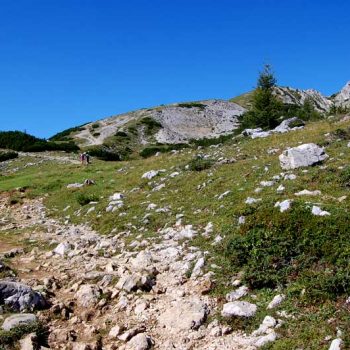
As soon as you come out of the forest and above the tree line, a magnificent mountain panorama opens. This is where I begin to enjoy mountain hikes – in open terrain with a phenomenal view. Moreover, the contrast between the walk through the woods and the views is phenomenal. They have even placed a bench here, where you can take a breather and enjoy the view. After taking in the view I push on. The trail continues steadily upwards on wide paths, along ridges and on the mountainside.
Ruins
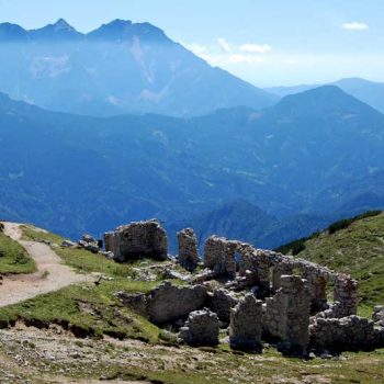
On the mountain ridge, just before you hike the last bit up to the summit, you pass the ruins of Rainer Schutzhaus. From here it is only 20-25 minutes to the top. At first glance, the ruin almost looks like Machu Picchu, with its roofless stone walls. They are not that old. The house was built in 1877 and served as a weather station for many years. German troops used the spot as a vantage point to look for US bombers. In 1944 the house was set on fire by partisans who fought against the Nazis. After that, the house was never rebuilt.
Panoramic views
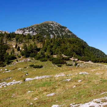
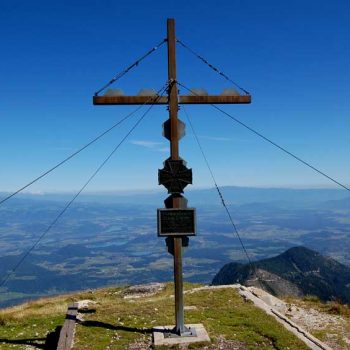
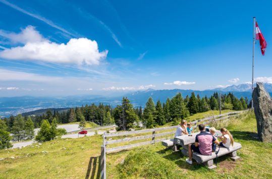
Just after the ruins, the path divides, where you turn left towards Hochobir. Or right if you want to continue along the ridge westward to Simon Rieger Steig (trail), which continues to Schaidsattel. The trail up to the summit is narrow and partly steep, but there are only 2-300 meters left to the cross at the peak. The summit is like a rounded hilltop and there is plenty of space. When I arrived at the summit there were about 10-12 hikers up here enjoying the view and packed lunches. You have panoramic views of the Hohe Tauern in the west, Saualpe in the north and to Petzen in the east. To the south, you look into the Karawanken and the Steiner Alps.
Advertisement
Medium tour
This tour is labelled as medium-difficult. If you hike up and down, without any longer breaks, it will take about 3-3.5 hours. I spent just over 4.5 hours with plenty of time for a long food and view break at the summit. And importantly, lots of photo stops along the way. For the descent, I recommend using walking sticks on the steep trail. It saves your knees and allows you to go not only safer but also faster. Back at the Eisenkappeler Hütte after a wonderful hike, it was great to sit down for a while and not least get something good to eat. The serviced cabin by the parking lot offers good Austrian home cooking and everything from soft drinks, beer, and to snaps. Clicking through the images on my camera it as made my list as one of the best hikes in Austria.
Eisenkappeler Hütte
The toll road (Ebriach) up to the mountain hut from L131 is 16 kilometres long, and at times narrow and winding, but perfectly fine to drive. You pay € 6 with coins at the turnpike 4 km from the main road. Please note that the toll road is only open from May 1 to October 31. You will find a large pleasant space, partly lawn, in front of the cottage with a great view south. The car park is just off the cabin.

