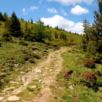
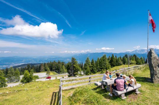
Weinebene on the border between Carinthia and Styria offers great hiking terrain for those who are not looking for hefty inclines but want to enjoy a mountain hike with the whole family.
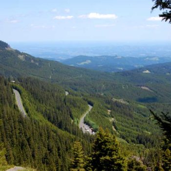
Weinebene is the highest point (1668 m / 5472 ft) in the pass over the Koralpen, where the east-west road between Deutschlandsberg in Styria and Wolfsberg in Carinthia crosses over. Instead of pointed peaks, the ridges along the mountain range are broad and rounded. We have tested a few more accessible hiking opportunities starting from Weinebene. Especially on hot summer days, it is nice to get away from 30-35 degrees in the lowlands and up in the highlands. Weinebene is perfect for mountain hikes, and you can also bring your children.
Easy terrain
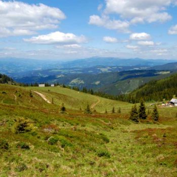
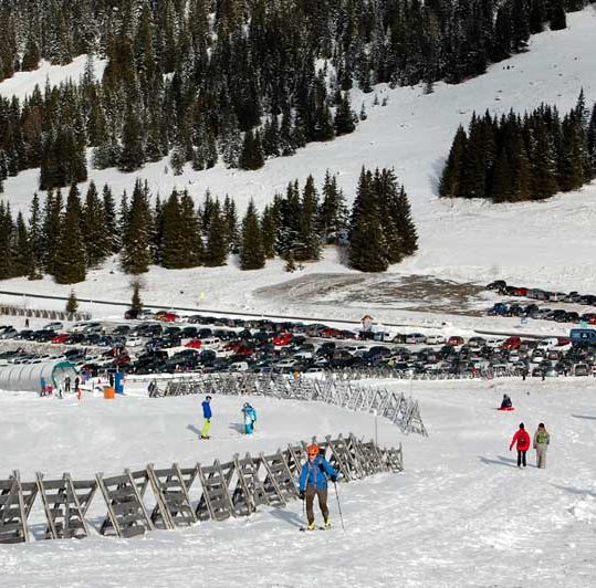
Two large car parks at Weinebene are an excellent starting point for hikers. The surrounding terrain offers nice hikes or walks for everyone, from small children to older people. Notwithstanding, you can also find some more challenging hikes, but by large, this terrain is perfect for easy to medium hikes. Moreover, the views are stunning. In only 2-3 hours, you can hike to Brandhöhe (1886 m / 6187 ft) and Moschkogel (1916 m / 6286 ft). The view from these peaks towards the east and west is fantastic. Besides, it’s well-marked and easy to find your way.
< Click on the images to enlarge >
Grosshöllerhütte (Easy hike – 11.4 km / 7 mi)
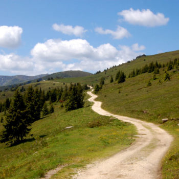
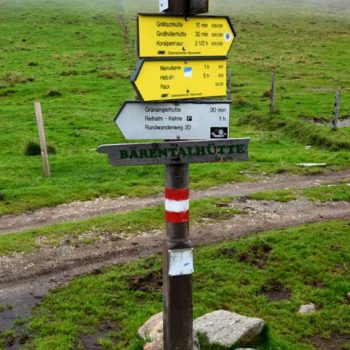
This hike is perfect for those who want an easy walk, families with small children, or those who do not like too many altitude meters. Even if it does not take you to the highest peaks, you still get a fantastic view and a great nature experience. From the parking lot at Weinebene, follow the gravel road about 4 km south, which runs along the hillside. Along the way, you have the possibility of 2 stops. First, you arrive at the Grilitschhütte in Carinthia below the pass. Grosshöllerhütte is only 1.7 km / 1.1 mi further down the path. To avoid hiking the same way back, you can follow the gravel road to Grilitschhütte and return via the ridge over Brandhöhe and then Moschkogel to Weinebene.
ADVERTISEMENT
Grosse Speikkogel (Medium hike – 18.4 km / 11,4 mi)
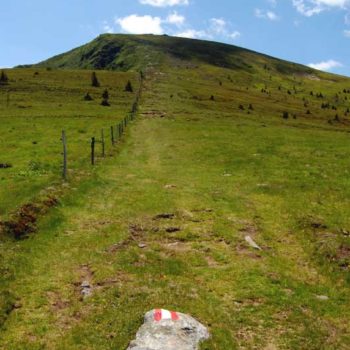
Those who want a longer hike should head for the highest point of the Koralpe, the Große Speikkogel, at 2140 m / 7020 ft. The mountain is a very popular destination for hikers. Starting from the car park at Weinebene, hikers with good stamina usually complete the hike in about 6-7 hours (18.4 km / 11.4 mi). You can see the peak from a distance, as the Austrian military and Austrian television have located large radar and antenna systems at the top. Follow the southbound gravel road winds along the mountain for about 3.5 km / 2.2 mi. When you reach the crossroads on the border between Styria and Carinthia, follow the trail southwards and up the ridge that takes you up to 1950 meters altitude before the terrain flattens out. For the next 2.5 km / 1.5 mi, follow the ridgeline. Here, you get fantastic views of both Styria and Carinthia. Finally, you arrive at the last steep but short incline before arriving at Große Speikkogel. The return trail takes you directly down the valley, where you follow the trail, always with the ridge at your right-hand side. After about 1,5 hours, you are back on the gravel road towards the car park.
Weberkogel (Easy hike – 4.6 km / 2.9 mi)
Several excellent options start from the parking lot on the north side of the road. Pass through the wooden gate and follow the trail past the small chapel. It is a bit steep, to begin with, until you are above the tree line. If you turn right (eastwards), you can hike the ridge to Moserkogel (1747 m) and 15 minutes further away to Glasshüttenkogel (1762 m). If you take the trail to the left just after the chapel and head northwest, the ridge leads you to Handalm (1853 m). After 20-30 minutes, you arrive at the Weberkogel (1805 m). You have great views from the ridge to the south and north. The barbed wire fence on the ridge runs along the border between Carinthia and Styria. No worries! This is not an official border fence but to separate different cow pastures. These hikes can be done in 2-3 hours without too much effort.
All-year destination
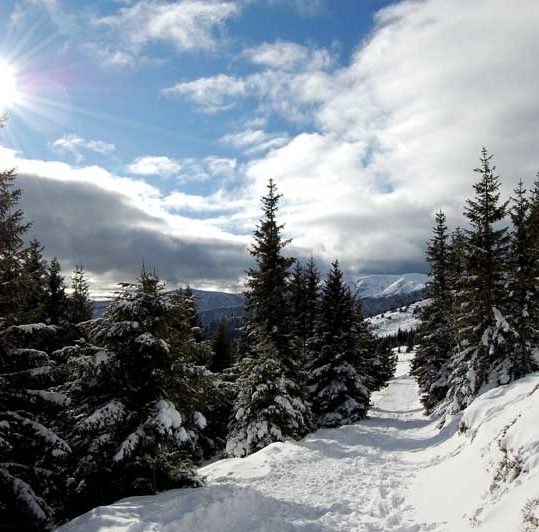
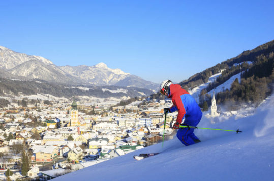
We have hiked here in spring, summer, and autumn. The weather in this part of Austria is warmer than up north or to the west, so the hiking season starts earlier and lasts longer. We have also done some lovely snowshoe tours on the mountain in the winter. Moreover, at Weinebene, you find ski lifts and some easy-to-medium pistes. Thanks to efficient snowmaking systems, the resort is renowned for its snow reliability at altitudes ranging from 1,580 to 1,886 meters. With eight lifts and 18 kilometres of pristine slopes, Weinebene offers a diverse range of winter activities beyond skiing, including cross-country skiing and snowshoeing, ensuring a delightful experience for all visitors. For cross-country enthusiasts, there are 15 km of tracks. Accommodation is available in guesthouses and self-catered lodges near the ski resort.

