The around 11 km hike to the summit of Hochlantsch in Styria, offers phenomenal views and varied terrain. A big bonus was the encounter with the Alpine Ibex.
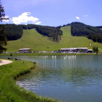
Hochlantsch at 1720 m / 5643 ft above sea level is the highest peak in the Almenland region. The starting point for my hike is Teichalm, which is located about 30 km / 19 miles northeast of Graz. Together with the nearby Sommeralm, Teichalm is the largest continuous area with alpine pastures in the Alps. In the summer it offers pastures for cows, and during the winter it is a ski resort. The small lake, where you find restaurants and parking, is located 1180 meters above sea level. Most of the hikes in the area start from the large car park by the lake.
Well-marked trail
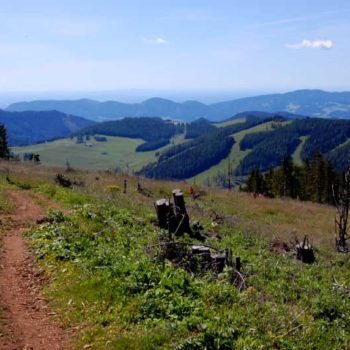
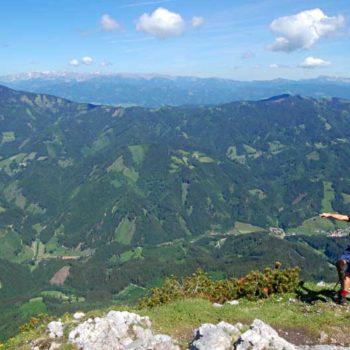
From the lake, I followed a well-marked and steep trail, that was steadily winding upwards through the woods. The entire hike unfolds below the tree line. However, since parts of the forest have been cleared you get a great view of the valley. Moreover, for the last 500 meters up to the summit, the trail runs along a ridge. On the north side, unlike the south side, there is a virtually 2-300 meter vertical drop off. This makes the view down into the valley on the north side even more spectacular. Notwithstanding, at the ridge, I was in for another wonderful surprise.
< Click on the images to enlarge >
Alpine Ibex
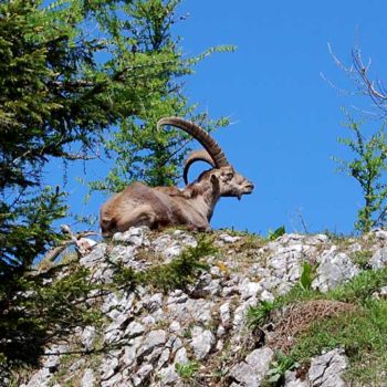
On an outcrop directly above the hiking trail, 3 Alpine Ibex were taking a rest. I did not expect these animals here. They seemed accustomed to people and did not take any notice of me when I took some pictures. I guess the view was more interesting than glancing back at some curious hikers. A few steps further, I could hear some twigs break in the dense forest, just down from the path. No way! No more than a meter away, a few more Alpine Ibex relaxed. I have seen Alpine Ibex several times in Austria, but only at a distance and in the high mountains. Hence, it was great finally to be able to observe them up close.
Brilliant 360° view
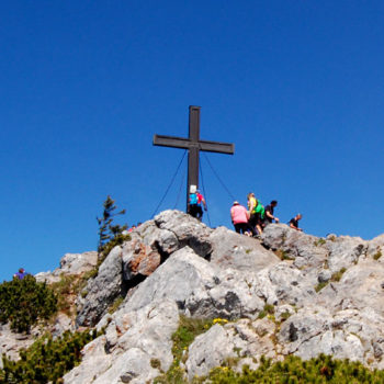
The highest point of this hike is the summit of Hochlantsch at 1720 m / 5643 ft. The customary cross stands on a rocky outcrop that protrudes from the ridge. It can be a bit tricky to get up on the summit and it is slippery if it has rained. Nonetheless, it’s worth the effort. Furthermore, Hochlantsch is the highest peak in the region and offers a brilliant 360° view. The grassy patches at the summit are perfect for a picnic. However, I wasn’t even halfway and pushed on after a quick snack.
ADVERTISEMENT
Descending through the forest
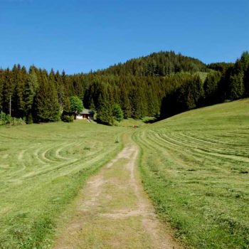
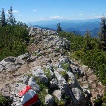
From the summit, the trail continues along a jagged ridge. It is well marked, with the Austrian flags painted on rocks at irregular intervals. Soon the steep trail takes me down through the forest. On this part of the trail, there are loose stones, tree roots, and slippery patches, which requires surefootedness. Nonetheless, although it is steep, I am glad I am doing this circular hike in the counter clock direction. The temperature at 1400 meters had reached 26 °C / 79 °F in the middle of the day, so it was nice to get a cold drink and something sweet to enjoy, after a 45-minute hike through the woods.
Steirischer Jokl mountain hut
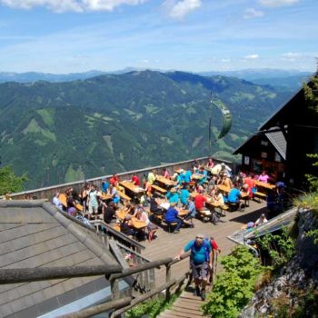
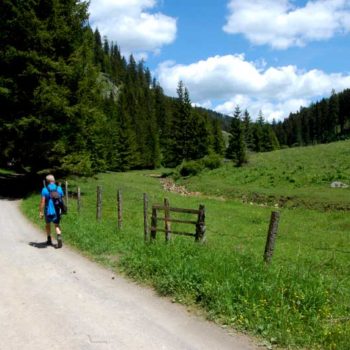
It was not just cold drinks and a snack, making it worthwhile to take a break at the mountain lodge. From the terrace at Steirischer Jokl, that hangs off a cliff, you get a phenomenal view of the Alps. After a light lunch at a table with a view, I followed the dirt road for the last 6 kilometers back to the starting point. Slowly descending for the first 3 km before the last 3 km winds its way through the flat valley floor along the Mixnitzbach creek. The last part of the hike may seem a little dull, but the scenery alternates between forest and pastures, makes it a perfect end to a great hike.

