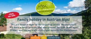
Austria offers an amazing variety of wandering- and hiking trails. One of my favourites is the 4-hour hike to Speiereck at 2411 metres above sea level.
I am obsessed with stunning views. I love hiking in Austria. Add to that magnificent nature and crisp fresh air – you have the recipe for a brilliant day in the Austrian Alps. The Speierck (2411 m / 7919 ft) in the holiday region Lungau offers an easy to medium-level half-day hike.
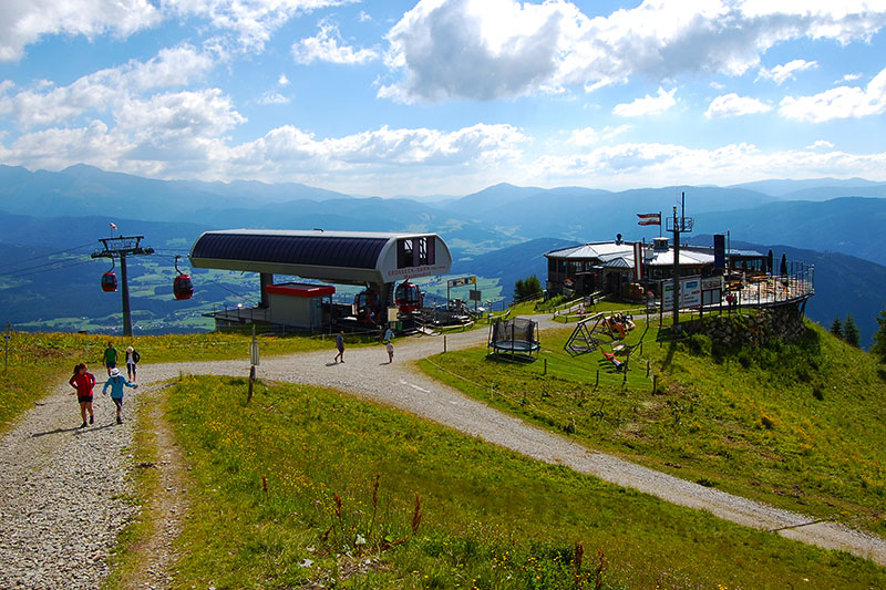
Cable Car to Heaven
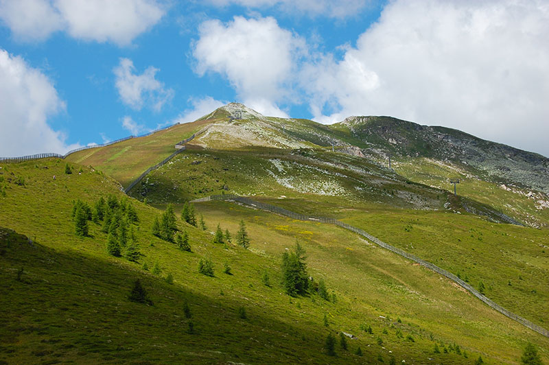
Most trails start already in the valley, but I prefer to begin above the treeline if possible. Outside the historical village Mauterndorf, you can pick up the cable car and travel comfortably to Grosseck at 1960 metres / 6430 ft above sea level. This is a perfect start to this trip. There is still enough terrain and altitude left to get some exercise. The hike up to Speierck and back to the cable car station at Grosseck takes about 4 hours at an average pace. The most popular route takes you to the peak, and back to the cable car station in a loop, so you don’t have to backtrack.
The peak in sight
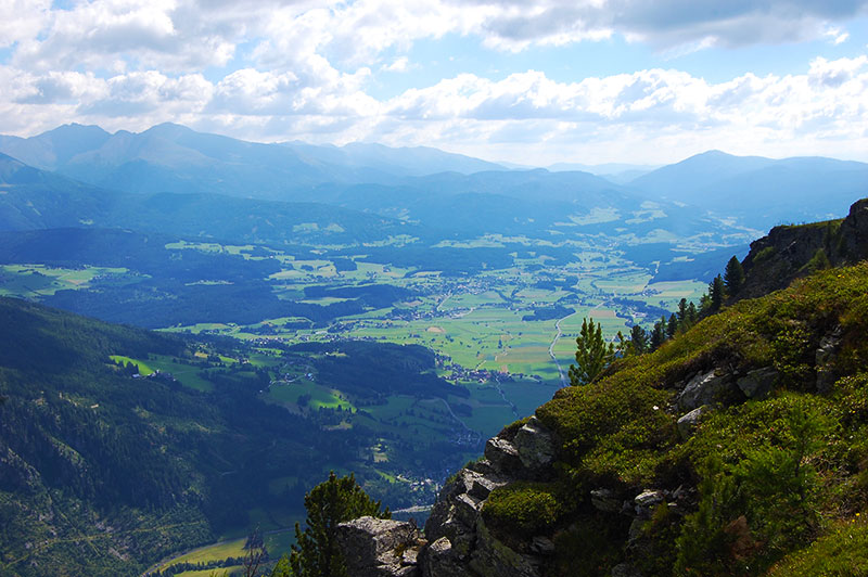
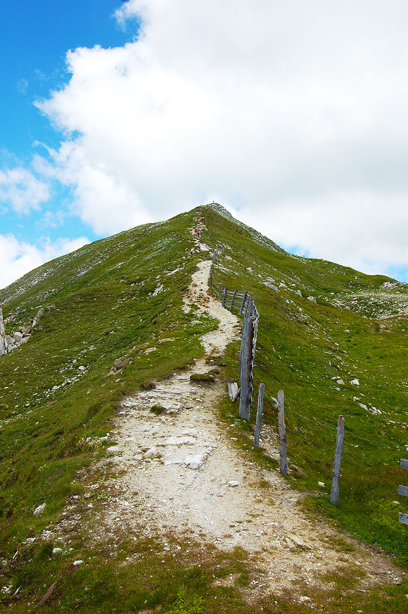
Starting the hike, you follow a gravel road for about 20-25 minutes, heading steadily upwards before you reach the ridge and Grosseck. From the ridge, you already have spectacular views towards the east and the village of Tamsweg. Continue following the trail along the ridge for a while. The east side of the ridge is almost vertical in some places. Stay off the edge if you are afraid of heights! The trail steadily gains altitude but is by no means hard to hike. A great bonus is that for most of the hike, you can see the peak you’re aiming for.
< Click on the images to enlarge >

Easy to medium
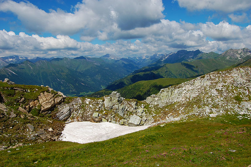
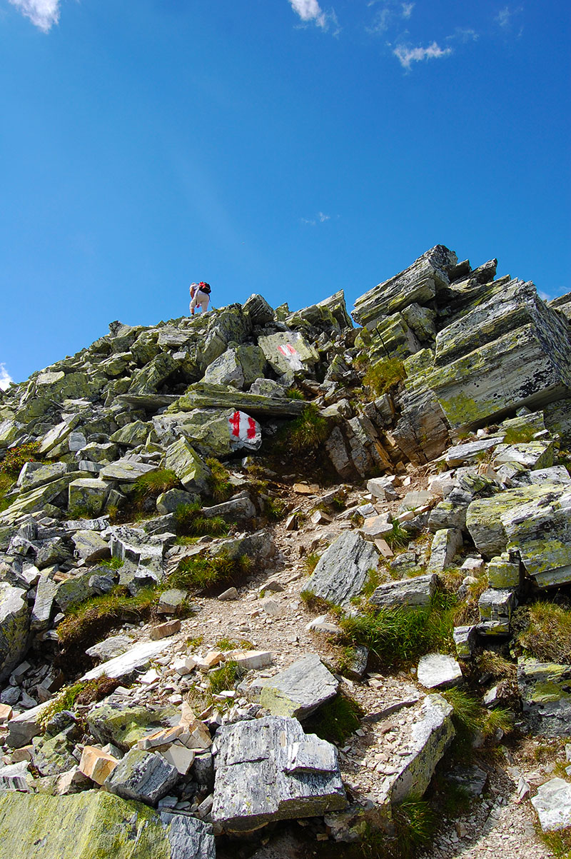
The hike to Speiereck is described as easy to medium-difficult. Most people hike anti-clockwise, hiking up from the east and descending on the ski slope before returning to the cable car station via the lakes. Even though you are hiking along a well-trodden path most of the way, except for a slight stretch near the peak, you need good boots for this hike. Sneakers or joggers are too unstable, and hurting yourself on any mountain is a bad idea. Thus, despite the stunning views, watch where you put your feet. Almost at the peak, you must traverse a steep incline with a patch of rough rocks, maybe even using your hands to hold on. However, with the cross in sight, the last few hundred metres to the peak are easygoing.
ADVERTISEMENT
That peaking sensation
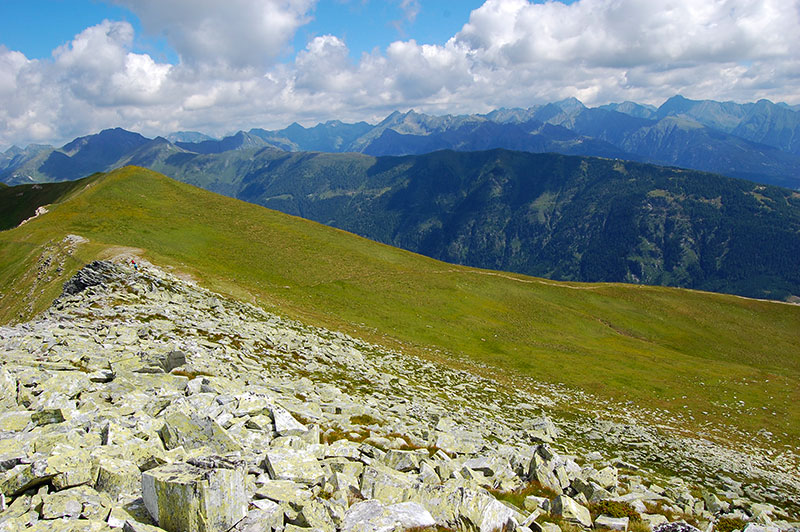
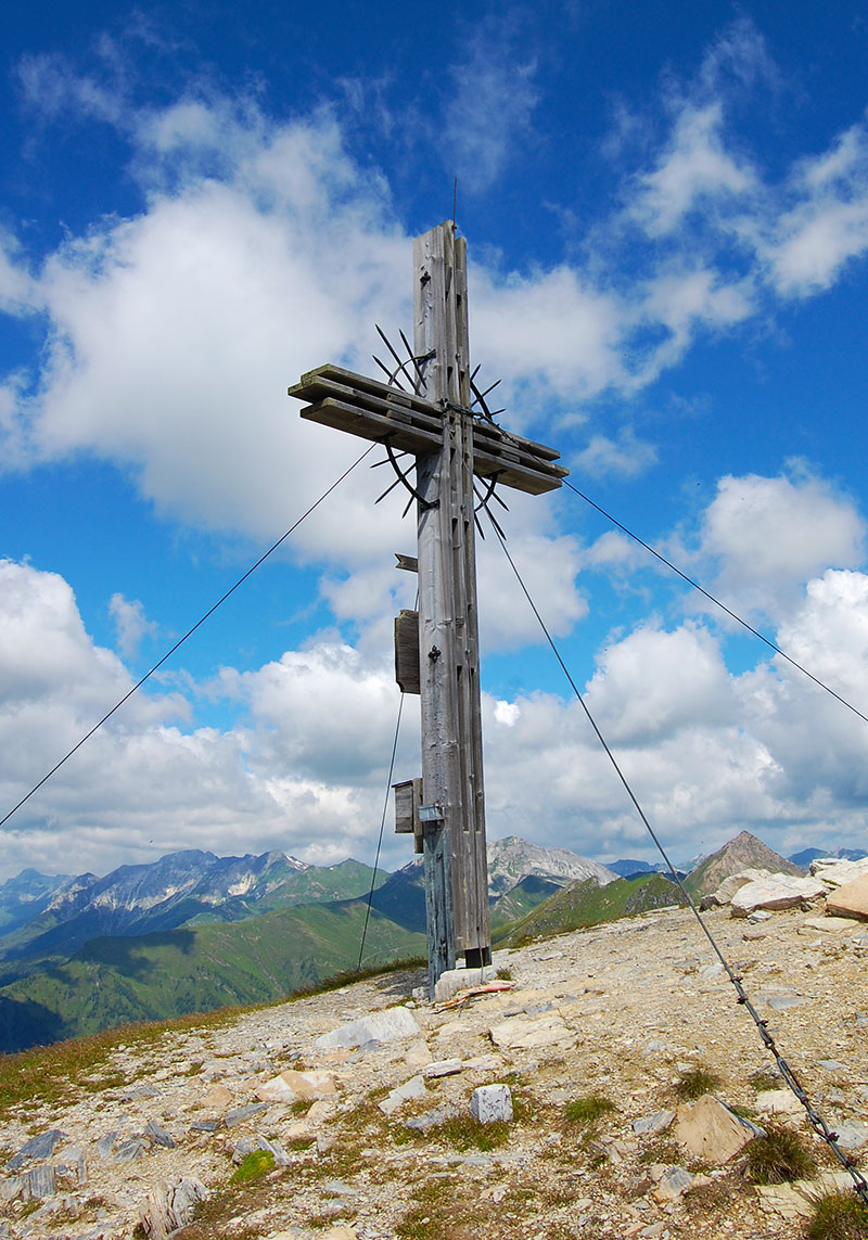
As always, reaching the peak gives you a great sense of satisfaction. Sure, this isn’t Matterhorn nor K2, but adding another mountain peak to my hiking portfolio is a personal achievement. You’ll reach the peak after about 1 ½ – 2 hours, depending on your fitness or how many photos stops you made. After the obligatory selfie at the top cross, it’s time to enjoy the view. If the weather is good and the air is crisp, you have stunning views for 100 kilometres into the surrounding Alps. This is when you realise you are just a tiny creature in this incredible landscape.
Downhill
I find that heading back down is the most straining part of a mountain hike. You descend on a ski slope a couple of hundred metres below the peak. Even with a flat, grassy surface, your lower-leg muscles will feel the strain from walking downwards. Zigzagging for ease, I’m aiming for the two small lakes in the valley between Grosseck and Speiereck for the next break. The lakes are water reservoirs for the snow cannon—nevertheless, the turquoise ponds are pleasant places to rest. The cable car station made the last but well-deserved stop at the Panorama Alm restaurant. Enjoying some hearty Austrian cuisine, in my case Kaiserschmarrn, is an essential part of any trip in the Alps and an excellent finish to the hike to Speierck.
Practical info:
-
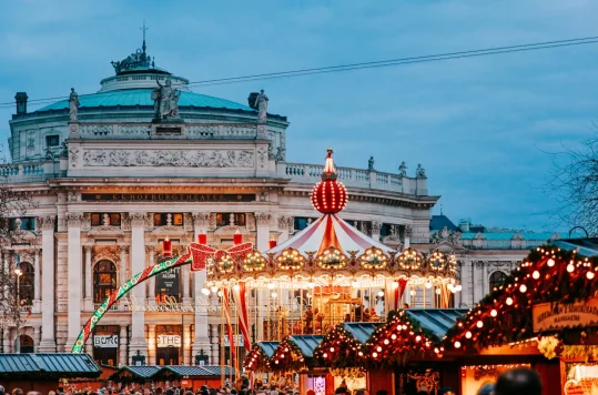
With the scent of roasted chestnuts and mulled wine filling the air, Vienna’s Christmas markets offer a delightful blend of traditional crafts, festive treats, and holiday cheer. Whether you are searching for handcrafted gifts or want to soak in the festive atmosphere, the Christmas markets in Vienna are a must-visit during the holiday season. Viennese […]
-

With a culinary heritage reflecting diverse cultural influences and historical roots, Austria offers a hearty and flavorful gastronomic adventure. Signature dishes like Wiener Schnitzel, Knödel and Tafelspitz showcase the country’s love for robust flavours and quality ingredients. Street foods like Käsekrainer add a savoury touch to Austrian culinary traditions. Buschenschanks in Austria: A Blend of […]
-
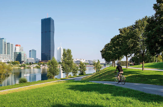
Vienna, the capital of Austria, is a city where history and innovation intertwine seamlessly. As you wander its streets, you’ll encounter a fascinating array of architectural styles, each telling a unique story. From Gothic cathedrals to avant-garde masterpieces, Vienna invites you to explore its rich heritage. Let’s embark on a visual tour of the city’s […]
-
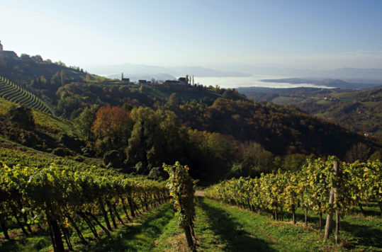
The contrast between the forest groves and the straight-lined vines in the hilly landscape that characterizes the view is fascinating. What’s more, the small villages you pass are nothing more than clusters of houses. However, in these picturesque clusters of homes, you’ll find what makes the region worth a visit: the restaurants and wine shops […]